


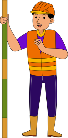
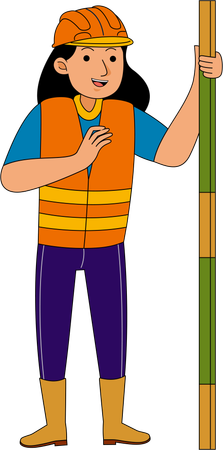
Topographical Map Illustrations
Browse & download free and premium 41 Topographical Map Illustrations for web or mobile (iOS and Android) design, marketing, or developer projects. These royalty-free high-quality Topographical Map Illustrations are available in SVG, PNG, EPS, AI, or JPG and are available as individual or illustration packs. You can also customize them to match your brand and color palette! Don’t forget to check out our exclusive, popular, latest, and featured illustrations too! Don’t forget to check out our too.
Topographic Illustrations
Technology Illustrations
Surveyor Illustrations
Geodesy Illustrations
Survey Illustrations
Engineering Illustrations
Equipment Illustrations
Building Illustrations
Map Illustrations
Man Illustrations
Measurement Illustrations
Engineer Illustrations
Construction Illustrations
Tripod Illustrations
Worker Illustrations
Surveying Illustrations
Industry Illustrations
Land Illustrations
Architecture Illustrations
Work Illustrations
Level Illustrations
Civil Illustrations
Builder Illustrations
Plan Illustrations
Project Illustrations
Theodolite Illustrations
Location Illustrations
Geodesic Illustrations
Instrument Illustrations
Navigation Illustrations
Explore Topographical Map Illustration Packs
View More


 Business
 People
 Design And Development
 Professionals
 Science And Technology
 Healthcare And Medical
 Finance
 E-Commerce & Shopping
 Network & Communication
 School & Education
Access the world's largest Design Ecosystem: Assets, Integrations, and Motion.

People Also Search:
- asphalt roads clipart png
- child with diabetes graphic eps
- computer science course digital art
- crypto exchanges digital art
- hand drawn dakimakura illustration
- development agency graphic eps
- digital files drawing
- premium download files illustration
- flat fitness education illustration
- flying character landing page graphic