6,540 Land Surveying Technology 5314627 Design Assets

Bring any design to life with high-quality design assets. Download 6,540 Land Surveying Technology 5314627 3D illustrations, Icons, Lottie Animations, and Vector Illustrations for free or premium use

glTF 3D Editor
3 D Architecture Icons Illustration Surveying Equipment 3D Icon

Surveying Equipment 3D Icon

Construction Workers Using Total Station Illustration 3 D Render 3D Illustration

Worker measuring with land surveyors 3D Illustration

3 D Illustration Of Surveyor Worker With Theodolite Engineer With Surveyor Equipment Civil Engineer Land Survey With Tacheometer Or Theodolite Equipment 3D Illustration

Surveyor Worker With Theodolite 3D Illustration

glTF 3D Editor
Overview Creative Construction 3 D 20 Asset Element Design Drawing Tools 3 D Icon Set Is A Pack Of 3 D Icons That Will Be Suitable To Illustrate Any Creative Design Project Activities Packed With Changeable Colors Textures In Blender Fully Layered And High Quality Images 3D Icon

Surveyors Tripod 3D Icon

glTF 3D Editor
3 D Illustration Real Estate Land 3D Icon

Land 3D Icon

Land Illustration In 3 D Design 3D Icon

Land 3D Icon

Land Illustration In 3 D Design 3D Icon

Land 3D Icon

3 D Land Metaverse Angle 2 3D Icon

Land Metaverse 3D Icon

3D gLTF Exclusive
Land Mine  3D Icon

Land Mine 3D Icon

3 D Land Metaverse 3D Icon

Land Metaverse 3D Icon

Land Mine  3D Icon

Land Mine 3D Icon

glTF 3D Editor
Land Of Sale  3D Icon

Land Of Sale 3D Icon

glTF 3D Editor
Land Investment  3D Icon

Land Investment 3D Icon

glTF 3D Editor
LAND MINE  3D Icon

LAND MINE 3D Icon

glTF 3D Editor
Land Mine  3D Icon

Land Mine 3D Icon

View More Land Surveying Technology 5314627 3D Illustrations

Camera Surveyor Animated Icon

Land Animated Icon

Land And Houses Animated Icon

Coming Soon Land Signboard Animated Illustration

Land For Sale Animated Illustration

Land Location Animated Icon

Coming Soon Land Signboard Animated Illustration

Closed Land Signboard Animated Illustration

Coming Soon Land Signboard Animated Illustration

Sold Land Signboard Animated Illustration

For Rent Land Signboard Animated Illustration

Land For Sale Land Signboard Animated Illustration

Land Of Objects Animated Illustration

Land Disaster Animated Icon

Land for sale board Animated Icon

View More 
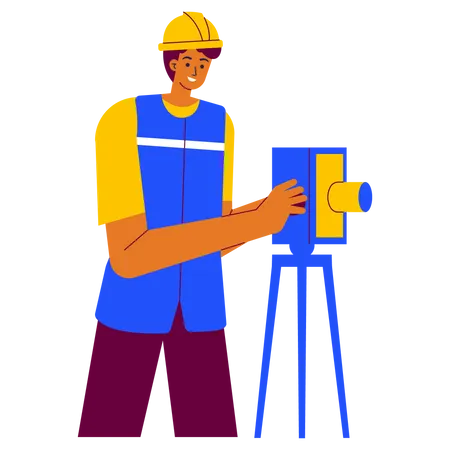
Land Surveying Technology 5314627 Animations
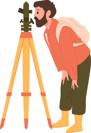
Geodesy Science Concept Land Surveying Technology Engineering And Topography Equipment People With Compass Andmap Vector Illustration In Cartoon Style Illustration

Land surveying technology Illustration

Surveyor Concept Land Surveying Technology Geodesy Science Construction Business Mapmaking And Real Estate Project People With Compass Map And Topographic Equipment Flat Vector Illustration Illustration

Land surveying technology, geodesy science. Illustration

Surveyor Online Service Or Platform Land Surveying Technology Construction Business Mapmaking And Real Estate Project Online Course Flat Vector Illustration Illustration

Online Land surveying technology Illustration

Surveyor Web Banner Or Landing Page Land Surveying Technology Geodesy Science Construction Business Mapmaking And Real Estate Project Flat Vector Illustration Illustration

Woman surveying home land Illustration

Surveyor Online Service Or Platform Land Surveying Technology Construction Business Mapmaking And Real Estate Project Online Forum Flat Vector Illustration Illustration

Online property surveying technology Illustration

Surveyor Web Banner Or Landing Page Land Surveying Technology Geodesy Science Construction Business Mapmaking And Real Estate Project Flat Vector Illustration Illustration

Land surveyor Illustration

Surveyor Web Banner Or Landing Page Land Surveying Technology Geodesy Science Construction Business Mapmaking And Real Estate Project Flat Vector Illustration Illustration

Surveying road Illustration

Surveyor Concept Land Surveying Technology Geodesy Science Cadastral Engineer Making Geodetic Measurements Flat Vector Illustration Illustration

Guiding Real Estate Project Illustration

Surveyor Concept Land Surveying Technology Geodesy Science Cadastral Engineer Making Geodetic Measurements Flat Vector Illustration Illustration

Construction Surveyor Illustration

Surveyor Web Banner Or Landing Page Land Surveying Technology Geodesy Science Construction Business Mapmaking And Real Estate Project Flat Vector Illustration Illustration

Surveyor of road Illustration

Land Surveyor  Illustration

Land Surveyor Illustration

Man Geologist Cartoon Character Taking Measures Of Earth Surface With Theodolite Using Technical Equipment Item Providing Examination Procedures Vector Illustration Isolated On White Background Illustration

Man geologist character taking measures with theodolite Illustration

You Will Find Many Surprising Assets That You Will Obtain In This File Dont Hesitate To Buy It Have It Soon This File Contains Features PNG Files JPG Files RGB Colors Easily Scalable Resizable Easy To Change Colors And Fully Editable Files Includes SVG Include All Applications AI Adobe Illustrator EPS Adobe Illustrator 10 Version This Illustration Can Be Applied To Various Objects Of Your Work With Many Choices It Is Flexible For Any Project Please Let Me Know If You Need Help I Will Be Happy To Help This File Contains Two Parts Please Visit The Next Section For Complete Options Have Fun And Find Your Best Dreams In Every Project Immediately Take It And Buy It Greetings Illustration

Surveyor Builder Engineer With Theodolite Transit Equipment At Construction Site Illustration

Land surveyor  Illustration

Land surveyor Illustration

Surveyor taking survey of plot  Illustration

Surveyor taking survey of plot Illustration

View More Land Surveying Technology 5314627 Illustrations
Land Surveying  Icon

Land Surveying Icon

Land Surveying  Icon

Land Surveying Icon

Land Surveying Surveyor Engineer Icon

Land Surveying Icon

Land Surveying  Icon

Land Surveying Icon

Survey Map Land Surveying Map And Magnifier Icon

Survey Map Icon

Geodetic Equipment Geodetic Survey Land Surveying Icon

Geodetic Equipment Icon

Geodetic Equipment Geodetic Survey Land Surveying Icon

Geodetic Equipment Icon

Survey Map Land Surveying Map And Magnifier Icon

Survey Map Icon

Geodesic Measure Geodetic Equipment Land Surveying Icon

Geodesic Measure Icon

Geodesic Measure Geodetic Equipment Land Surveying Icon

Geodesic Measure Icon

Geodesic Measure Geodetic Equipment Land Surveying Icon

Geodesic Measure Icon

Geodesic Measure Geodetic Equipment Land Surveying Icon

Geodesic Measure Icon

Site Surveyor Civil Engineer Architect Icon

Site Surveyor Icon

Site Surveyor Civil Engineer Architect Icon

Site Surveyor Icon

Site Surveyor Civil Engineer Architect Icon

Site Surveyor Icon

Theodolite Engineer Device Icon

Theodolite Icon

Theodolite Construction Device Icon

Theodolite Icon

Laser Level Tool Icon

Laser Survey Machine Icon

Laser Level Tool Icon

Laser Survey Machine Icon

Land Survey Surveying Geography Icon

Land Survey Icon

Land Survey Surveying Geography Icon

Land Survey Icon

Land Survey Surveying Geography Icon

Land Survey Icon

Surveying Drone Commercial Icon

Surveying Icon

Surveying Drone Commercial Icon

Surveying Icon

Surveyor Tools Land Measurement Geography Icon

Surveyor Tools Icon

Surveyor Tools Land Measurement Geography Icon

Surveyor Tools Icon

Surveyor Tools Land Measurement Geography Icon

Surveyor Tools Icon

View More 
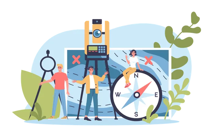
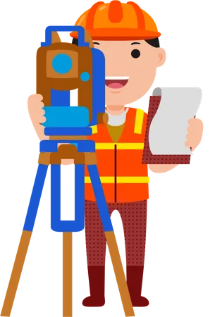
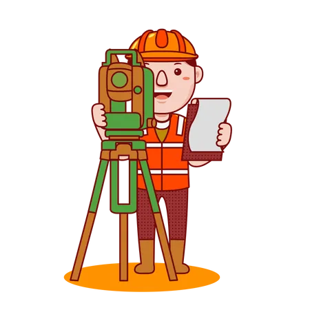
Land Surveying Technology 5314627 Icons

Access the world's largest Design Ecosystem: Assets, Integrations, and Motion.

Sales banner