


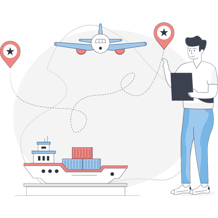
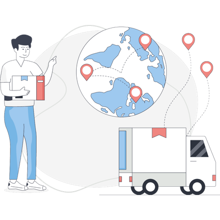
Geographic Mapping System Illustrations
Browse & download free and premium 2,227 Geographic Mapping System Illustrations for web or mobile (iOS and Android) design, marketing, or developer projects. These royalty-free high-quality Geographic Mapping System Illustrations are available in SVG, PNG, EPS, AI, or JPG and are available as individual or illustration packs. You can also customize them to match your brand and color palette! Don’t forget to check out our exclusive, popular, latest, and featured illustrations too! Don’t forget to check out our too.
Geography Illustrations
Earth Illustrations
Globe Illustrations
World Illustrations
Global Illustrations
Nature Illustrations
World Logo Illustrations
Environment Illustrations
Ecology Illustrations
Planet Illustrations
Map Illustrations
Eco Illustrations
Save Earth Illustrations
Save Environment Illustrations
Protection Illustrations
Global Warming Illustrations
Pollution Illustrations
Education Illustrations
Travel Illustrations
Environmental Illustrations
Energy Illustrations
Prevention Illustrations
Natural Illustrations
Study Illustrations
Tree Illustrations
Save Ecology Illustrations
Ecology Control Illustrations
Navigation Illustrations
Plant Illustrations
Renewable Energy Illustrations
Explore Geographic Mapping System Illustration Packs
View More


 Business
 People
 Design And Development
 Professionals
 Science And Technology
 Healthcare And Medical
 Finance
 E-Commerce & Shopping
 Network & Communication
 School & Education
Access the world's largest Design Ecosystem: Assets, Integrations, and Motion.

People Also Search:
- add medicine background illustration
- analytics trends landing page graphic
- flat card expired illustration
- abstract data save illustration
- ear infection landing page graphic
- hand drawn female high school student illustration
- financial struggle background illustration
- high res friends watching movie together illustration
- download gradient loop blue phone background illustration
- flat mental abuse illustration