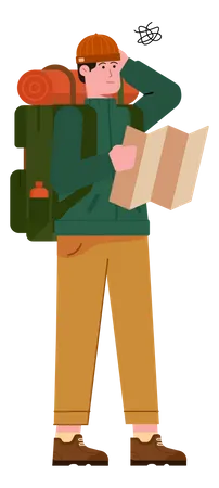
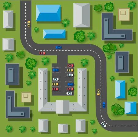
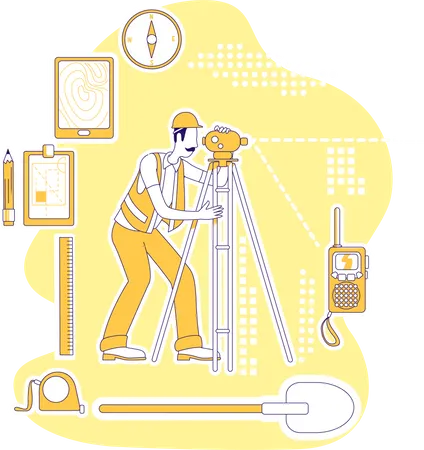
10,919 Topography Design Assets
Bring any design to life with high-quality design assets. Download 10,919 Topography 3D Illustrations, Icons, Lottie Animations, and Vector Illustrations for free or premium use
View as
Typography Design Assets
Font Design Assets
Text Design Assets
Letter Design Assets
Alphabet Design Assets
Letters Design Assets
Sign Design Assets
Education Design Assets
Balloon Design Assets
Symbol Design Assets
Capital Letter Design Assets
Calligraphy Design Assets
English Alphabet Design Assets
Gold Balloon Design Assets
Balloon Alphabet Design Assets
English Design Assets
Lettering Design Assets
Sticker Design Assets
Celebration Design Assets
Alphabets Design Assets
Decoration Design Assets
Label Design Assets
Uppercase Design Assets
Decorative Design Assets
Gold Alphabet Design Assets
Gold Design Assets
Stickers Design Assets
Party Design Assets
Type Design Assets
Number Design Assets
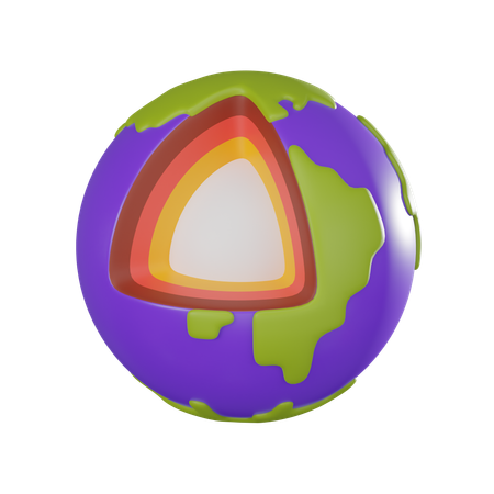
Topography 3D Illustrations
1,869 Assets


Topography Animations
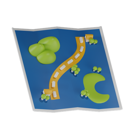
7,787 AssetsTopography Illustrations
1,091 Assets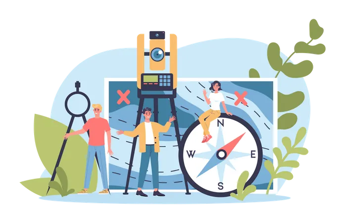


Topography Icons
172 AssetsTopography Machine Icon
Topography Characteristics Icon
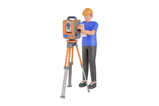
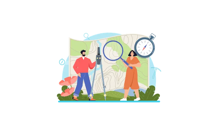
Topography Tool Icon
Topography Machine Icon
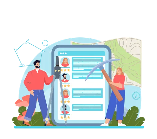
Calculator And Divider Icon
Topo Icon
Geo System Controller Icon
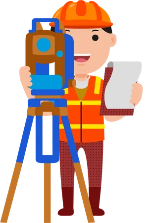
Surveyor Icon
Map Direction Icon
Building Plan Icon
Satellite Icon
Global Location Icon
Map Measuring Icon
Drone Icon
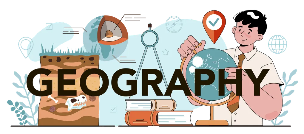
Geography Education Book Icon
Direction Board Icon
Compass Icon
Online Location Icon
Search Route Map Icon
Online User Location Icon
Typography Icon
Tennis Icon
Ct Scan Machine Icon
A Alphabet Icon
H Alphabet Icon
N Alphabet Icon
R Alphabet Icon
Access the world's largest Design Ecosystem: Assets, Integrations, and Motion.