11,763 Topography Design Assets
Bring any design to life with high-quality design assets. Download 11,763 Topography 3D Illustrations, Icons, Lottie Animations, and Vector Illustrations for free or premium use
View as
Typography Design Assets
Font Design Assets
Text Design Assets
Letter Design Assets
Alphabet Design Assets
Letters Design Assets
Sign Design Assets
Education Design Assets
Balloon Design Assets
Symbol Design Assets
Capital Letter Design Assets
Calligraphy Design Assets
English Alphabet Design Assets
Gold Balloon Design Assets
Balloon Alphabet Design Assets
English Design Assets
Lettering Design Assets
Sticker Design Assets
Celebration Design Assets
Alphabets Design Assets
Decoration Design Assets
Label Design Assets
Uppercase Design Assets
Decorative Design Assets
Gold Alphabet Design Assets
Gold Design Assets
Stickers Design Assets
Party Design Assets
Type Design Assets
Number Design Assets
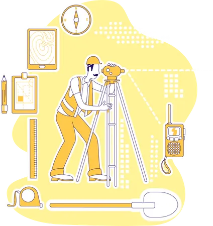
Topography 3D Illustrations
1,864 Assets

Topography Animations
7,785 AssetsTopography Illustrations
1,089 Assets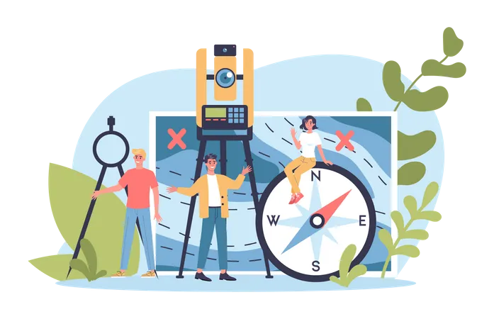


Topography Icons
1,025 AssetsTerrain Icon
Coordinates Icon
Contour Icon
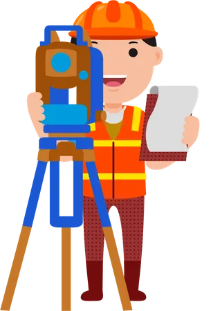
Land Survey Icon
Glacier Icon
Island Icon
Dune Icon
River Icon
Bathymetry Icon
Ocean Icon
Relief Icon
Desert Icon
Elevation Icon
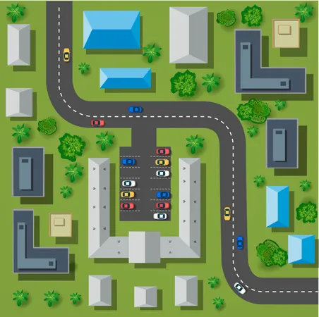
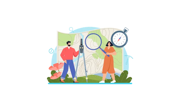
Cartography Icon
Slope Icon
Plateau Icon
Geographic Data Icon
Waterfall Icon
Jungle Icon
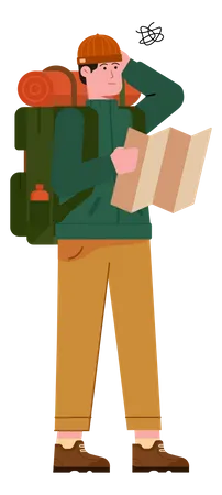
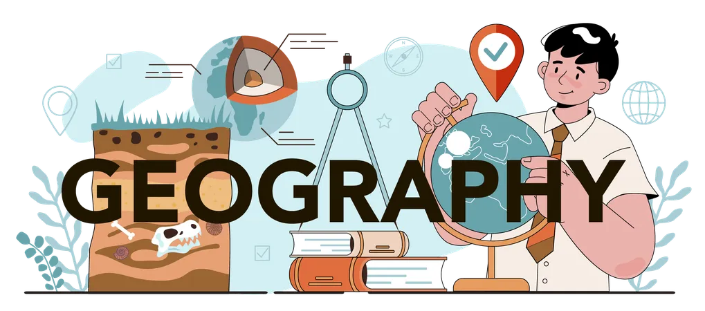
Geography Icon
Map Icon
Marshes Icon
Hill Icon
Altitude Icon
Valley Icon
Volcano Icon
Globe Icon
Access the world's largest Design Ecosystem: Assets, Integrations, and Motion.