


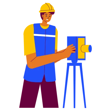
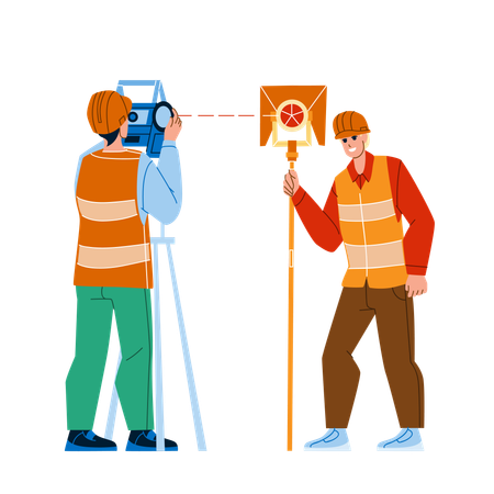
88 Surveying Tripod Illustrations
Browse & download free and premium 88 Surveying Tripod Illustrations for web or mobile (iOS and Android) design, marketing, or developer projects. These royalty-free high-quality Surveying Tripod Vector Illustrations are available in SVG, PNG, EPS, AI, or JPG and are available as individual or illustration packs. You can also customise them to match your brand and color palette! Don’t forget to check out our exclusive, popular, latest, and featured illustrations too! Don’t forget to check out our too.
View as
Engineering Illustrations
Character Illustrations
People Illustrations
Surveying Illustrations
Building Illustrations
Work Illustrations
Survey Illustrations
Engineer Illustrations
Construction Illustrations
Surveyor Illustrations
Business Illustrations
Worker Illustrations
Equipment Illustrations
Man Illustrations
Tripod Illustrations
Geodesy Illustrations
Land Illustrations
Architect Illustrations
Occupation Illustrations
Male Illustrations
Topography Illustrations
Technology Illustrations
Safety Illustrations
Architecture Illustrations
Construction Worker Illustrations
Level Illustrations
Industry Illustrations
Danger Illustrations
Geodetic Illustrations
Contractor Illustrations


Trending Searches: